|
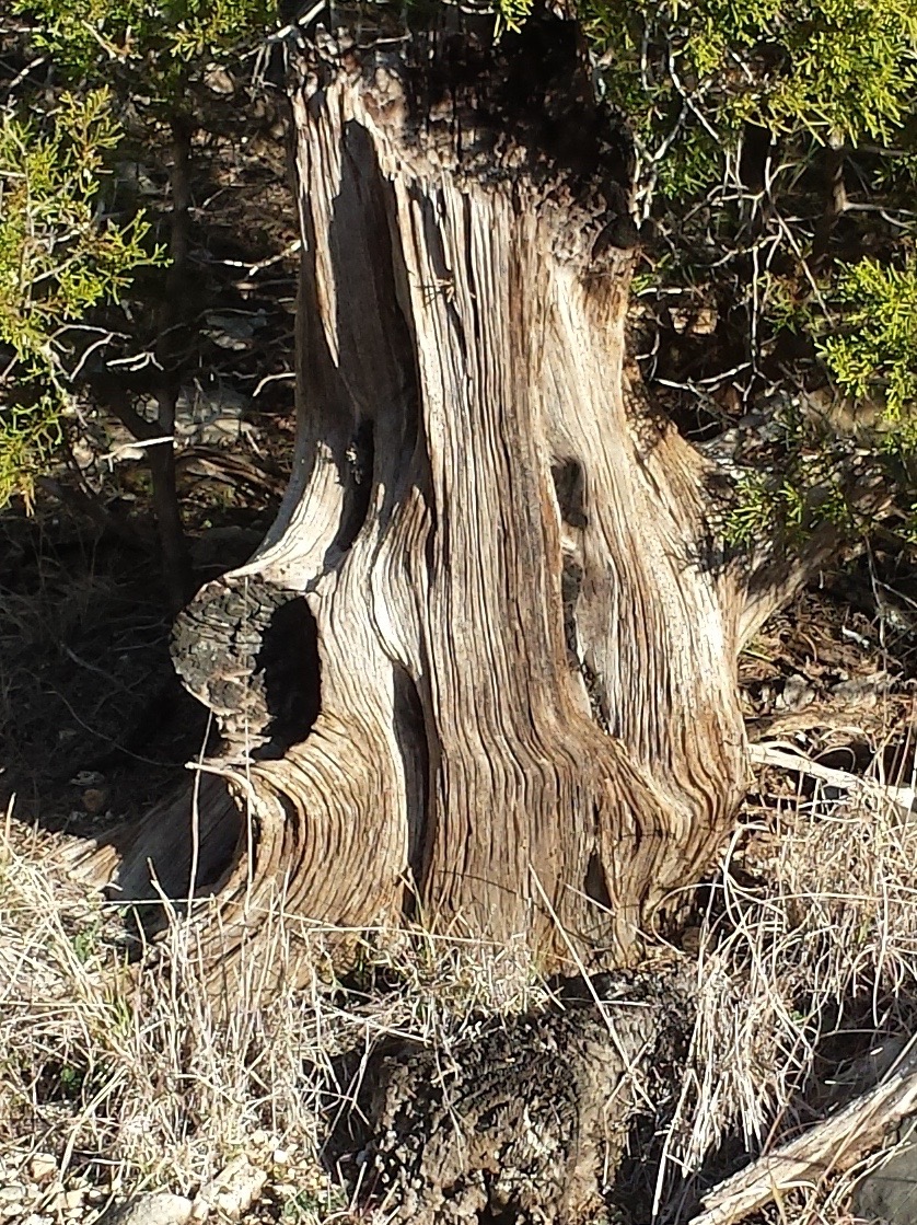
| Early morning sun. |
I have heard about this place for years. DH went here back when it was a fishing camp (soldiers after a training exercise sometimes wake in the night.*) MC's scout group canoed and hiked there many times. DH and brother RF have camped there recently. Friends have shared photos. So, I was happy when DH recommended we hike at Colorado Bend.
Our oldest joined us and added wry comments and perspective.
This park offers a large number of trails of varying difficulty (
easy,
moderate,
challenging, and
very challenging). DH looked at the map and showed us some short hikes he assured us were easy.** I suggested we walk to Gorman Falls. We walked, climbed, crawled, and slid along the mostly rocky paths.
 |
| Highway is almost empty in the early morning. |
 |
| Red dirt means something in our family. |
 |
| Some of the trail was narrow and shady. |
 |
| DH heads out. |
 |
| Lichen covered rocks are seen on the river side of the trail. |
 |
| Holes in the trail hint at the many caves below. |
 |
| We suggested to OC that we lower her into this crack. She declined. |
 |
| Stopping to check the map at a trail crossing. We hiked Cedar Chopper Loop. That name seems to be a bit loaded using a pejorative name, but then no one asked me. |
 |
| On this trail there were few overlooks. Here you can see lots of dead cedar. |
 |
| DH and OC keep a steady pace. |
 |
| Some of the limestone ledge. |
 |
| We start climbing. |
 |
| The trail continues up and gets rougher. |
 |
| The limestone is smoothed in spots - from thousands of feet passing over. |
 |
| Then we headed down towards the river. Not much of a trail here. |
 |
| As we got closer to the waterfall convenient cable allowed a balanced descent. |
|
 |
| The entire cliff face was dripping - a waterfall "under construction" according to signage. |
 |
| Gorgeous. |
 |
| Viewers were kept at a distance to protect the area. |
 |
| It must be stunning after some rains. |
 |
| A poured concrete step had a backwards and upside down message. Of course I read it wrong initially - an anagram of "this." I think it says something like "THIS AREA" and "TO PARK." |
 |
| Barbed wire fencing |
 |
| Lily pads in the creek that feeds the falls. |
It's red dirt, limestone shelf, cedar, oak, caves, cactus, cactus, and cactus. And the waterfall was unusual and lovely. We saw a few deer as we drove in, heard a few birds along the river,*** and saw evidence of wild hogs. Otherwise the only creatures we observed were early yellow butterflies, flitting through the brush.
 |
| Some lovely cedar stumps. |
 |
| While I am sure it has a specific name, we called of this type of cactus "devil's pincushion." |
 |
| Pitted limestone - like the surface of the moon. |
 |
| Cedar log. |
 |
| Lady finger cactus fruit. |
 |
| Yucca |
 |
| Fern growing on the path to the falls. |
 |
| Prickly pear. |
 |
| Milkweed seed pod |
 |
| Live cedar and dead cedar. |
Three hours and 3.5 miles later we were back at the car and headed to Lampasas for lunch.
 |
| You know you wanted to see it. |
Then it was time for home, ibuprofen, and a nap.
NOTES:
* DH swears he got up for the loo and saw a mountain lion across the river. He told his story (and still tells it) and was teased unmercifully. Later, when the unit was training in Germany, one man had a Lampasas newspaper that included a story about a rancher shooting a mountain lion. Vindication - or so he claims.
** The legend was on the back of the map. I only saw it after the hike. DH lied. We were on a
moderate and then
challenging trails. It's okay. I am used to "march or die" DH. And he is used to me - I stop to take photos and stop to rest.
*** Including a raven (I am making the call. It was a crow or raven and who will argue?).