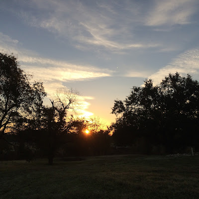
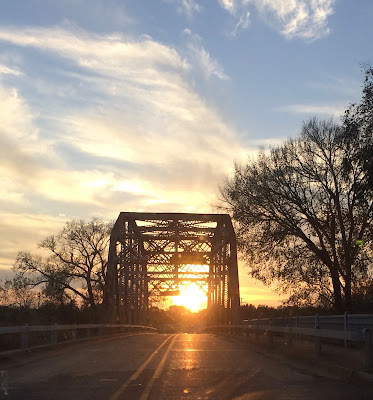
Initially there was a misunderstanding regarding where were going - an actual difference of 53 miles (which, by my calculation, means one extra hour of sleep!). Then a cold front blew in so DH packed for an "arctic expedition."*
I saw the weather reports, knew that layers, would work and prepared accordingly.
A lunch was also prepared: sandwiches, nuts, bananas, water, and sodas.
Cameras and cells were charged.
And we were off.
We started at
Tejas Camp** and walked along part of the Good Water Trail. The cold front did indeed bring some brisk weather and the kind of bright sunshine...well...you will see in some of the photos that follow.
Members of the Good Water Master Naturalist Chapter lectured and guided us all around Williamson County. We were 25 12-year-olds picking up seedpods, snapping photos, "ooh-ing and ah-ing" over spiderwebs and phoebes.
 |
| The photo that "could have been" - I almost caught the group within the Devil's Claw seed pod. I admit that I wasn't trying for that. Wouldn't it have been cool if I had been? |
 |
| The air was crisp and clear. The sunlight seemed more intense...blinding. |
 |
| Always glad to see the velvety-leafed mullein. It is a favorite. Those velvety leaves are, what my mother would call, "mouse's ear." |
 |
| Another mullein and native grass (just off the path to the river). |
 |
| DH laughed when I told him this (4 foot) piece of driftwood was the only one I wanted. |
 |
| I am ready to go back with water shoes for some wading in the river...maybe even bring a canoe (I am notorious for leaving kayaks at the bottom of rivers...so it will have to be a canoe). |
 |
| Looking upstream |
 |
| The shore is rocky/sandy. |
 |
| Rough cockleburs - still green |
 |
| While just steps away, dried cockleburs, ready to snag onto an unsuspecting animal |
 |
| Seed pods and some flowers still on this small shrubby wildflower. |
 |
| Not sure. Still looking. I loved that the flowers were hanging on even as the seed pods were starting to open. I did save some of these seeds. |
 |
| Our path. |
 |
| The path not taken. We have to come back. |
 |
| A rock wall along the path. |
 |
| The moon framed by one of the trees along the river. |
 |
| Tired arctic explorer takes a nap. [Actually, I took one too - after lunch. I have no clue what part of the field trip I missed.] |
I am notorious (just ask DH) for lagging behind for just one more photo of this or that. As I hurried to catch up with the group I heard voices behind me. I was not the only "straggler." I knew I had "found my people."
The Chalk Prairie
After crossing the county we were introduced to two women who are members of the Native Prairies Association of Texas. They are passionate about prairies (one is re-establishing the prairie on her property - quite a challenge). They took us to see two prairies. One is part of the original native prairie.*** Most of the native prairie in Texas was destroyed by cultivation and/or overgrazing. The Chalk Prairie is very rocky. Plowing would have been impossible, so the small prairie remains. I hesitate to share more. There was so much information. Those interested should read more at the links below.****
 |
| I love fences...here we have a little bit of everything - wooden posts, barbed wire, twisted wire, and welded wire. And there was a gate! |
 |
| The hike to the chalk prairie was lovely. We passed under native and invasive non-natives. Here we found paper mulberry trees. I have to say the dappled light on the trail was gorgeous. |
 |
| Bushy bluestem grass. It was so pretty I had to get a few seeds. "Keep it moist," recommended |
 |
| Bushy bluestem was growing near the path in an area that carries drainage waters. Now we knew just a little more - Bushy bluestem signals an area of increased moisture. |
 |
| Look at this grass blowing in waves. Imagine - this is how much of the central part of the state looked, before the sod busters came. [Remember #11.] |
 |
| Bear Grass |
 |
| Mesquite tree |
 |
| Web among the mesquite thorns |
 |
| Liatris bloom dried. |
 |
| Another view of the prairie. |
 |
| The group - outstanding in their field (you knew it was coming!) |
 |
| We exited the woods, like waking from a dream...and headed off to the next stop. |
The Tall Grass Prairie
The Army Corps of Engineers has a spot near Granger Lake where they are attempting to restore the prairie.***** While it's not clear how well they are doing on that property, right next door is a stretch of property where the seeds have spread and the prairie is, in fact, returning. We climbed through the barbed wire fence (not my favorite move) and walked into the tall grass.
We had been told to be on the lookout for a
gilgai - a shallow depression in the prairie (common in high grass/blackland prairie) where the land is a little moist.******
We walked a bit and looked from grass to grass. There was switchgrass, Big bluestem, Little bluestem, and (watch for it) Bushy bluestem. Bushy bluestem signals moister ground - maybe we had found our
gilgai.
We also saw a number of critters - grasshoppers, spiders and more.
 |
| The grass was thick and difficult to negotiate. You can see where we moved through. |
 |
| Dried goldenrod. |
 |
| Switchgrass, almost lacy against the sky. |
 |
| Ask us about our grass. [There were grasses our guides could not identify - "perhaps an old world grass" was the thought.] |
 |
| There it is - the Bushy bluestem. |
 |
| We had found the gilgai |
 |
| This strange fascinator of grass, seeds and webs held an unusual green spider. |
 |
| It is such a mess of stuff - but follow the legs and you can just make out this spider. |
 |
| Someone noted a grasshopper and he held still... |
 |
| ...long enough for me to get some photos, break my eyeglasses, and lose my lens cap. Still, I think the photo was worth it. |
Post Oak Savanna
I have to admit that as the cold wind came whistling across the post oak savanna, I became chilled-to-the-core and was unable to focus. Even though I was wearing three layers (2 fleece), I was unprepared when that cold wind blew. We were standing in the shade of the woods and I was reminded of an old folk song (although we weren't "in the pines").
In the pines, in the pines, where the sun never shines
And you shiver when the cold wind blows*******
Ancestors come a'calling again
My Flinn, Williams, and Mankin(s) relatives moved from Tennessee, Kentucky, and Arkansas (respectively) to Williamson County in the mid to late 1800s. The Mankin(s) settled along the San Gabriel River. One branch of the river was named for him (Mankins Branch) as was a shallow spot where one could ford the river (Mankins Crossing).********
The old low-water bridge at Mankins Crossing is a great spot for birders. Our field trip stopped on the bridge just long enough to take a couple of photos and make a mental note of the location.
Also nearby is the Mankins Family Cemetery (on the north side of the highway about 200 yards from the crossing). We will be visiting soon, once we contact the land owners and get permission to enter their property.
Yes, the ancestors were calling again.
 |
| Looking north toward the Highway 29 bridge. The family cemetery is on the other side of the highway to the left, under some trees. |
 |
| The San Gabriel River at Mankins Crossing. This is a place I have wanted to see. |
NOTES:
*Allegedly "for us," DH has enough warm clothes and other gear for almost everyone on the bus. It is who he is. While he was not a "Boy Scout" he WAS an Army Scout (and he owned an International Harvester Scout, but that probably isn't pertinent here). He likes to "be prepared." On a recent family gathering he had a spare pair of dive booties (no, we were not scuba diving) and a spare swimsuit to share with others who were not ready to swim in the cold water nor walk on the rocky bottom of the Frio River. I have always said that he packs like a teenage girl - if one pair of shoes is plenty, he packs 10. I make a joke of it. I take pictures.
I like to be prepared too, but I also know that almost anything can be obtained/replaced/resolved in this day and age (On one family trip my suitcase was left in the kitchen. I had to hit a department store to make it through the week).
**
Tejas Camp is on the north west side of Lake Georgetown. It includes a chunk of the Good Water hiking trail.
Do not confuse it with Camp Tejas out of Giddings,
TX. http://www.swf-wc.usace.army.mil/georgetown/Recreation/Trails/Hike.asp
***Less than 1% of the native prairie in Texas remains.
****http://texasprairie.org/
*****A little something on prairie restoration - http://acwc.sdp.sirsi.net/client/en_US/default/index.assetbox.assetactionicon.view/1004272;jsessionid=EFAA55F1F8829901B1EFC7B39E8526BF.enterprise-15000?rm=ECOSYSTEM+MANA0%7C%7C%7C1%7C%7C%7C0%7C%7C%7Ctrue
******
"Gilgai are shallow microdepressions 1 to several meters
across formed by pedoturbation of montmorillonitic clays." (Emphasis
added.) http://www.worldwildlife.org/ecoregions/na0814
*******https://en.wikipedia.org/wiki/In_the_Pines We were on a family trip once and they played different versions of this song for probably 30 minutes or more. The children and DH began to complain. I suspect - even today - they would all moan if I started singing the refrain.
********Mankins Crossing http://www.williamson-county-historical-commission.org/GEORGETOWN_TEXAS/Mankins_Crossing-Historical_Marker_Williamson_County_Texas.html
Oh, one final thing.
 |
| We stopped for lunch at Friendship Park on Granger Lake. That sun shining on the water was stunningly beautiful. |
Granger Lake - http://www.swf-wc.usace.army.mil/granger/Brochures/Granger%20Lake%20Map.pdf


